The best hikes in and near Rancho Cucamonga
One exclusion first, because it's the question we get most: we do not send people to Cucamonga Canyon. Its legal access status is unresolved, and until that changes, this guide doesn't route readers into a legal gray zone — no matter how good the waterfall photos look. There's plenty of legitimate trail within reach, and it's all below.
The list runs from marquee to mercy: the city's signature waterfall walk with every caveat other sites bury, the Baldy-area climb locals graduate to, the flat twenty-mile rail-trail for knees with opinions, and an easy park loop with horses at the halfway point. Read the logistics before you drive — permits, dawn parking, seasonal water, and a no-dogs rule that is actually enforced are what decide whether these days succeed. The trails themselves are the easy part.
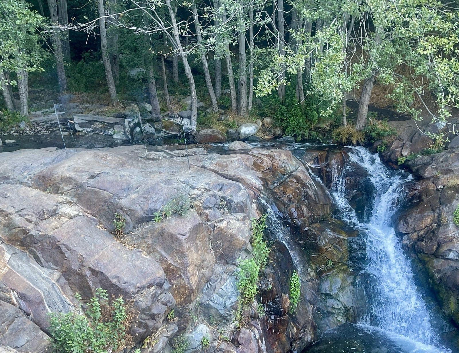
© Foothill & Vine North Etiwanda Preserve — Etiwanda Falls
The marquee: about 3.6 miles round trip and 700-plus feet of gain up an old utility road to Etiwanda Falls, valley floor spread out behind you. The caveats are the review — falls run best December through April and can quit by late summer, dogs are banned and it's enforced, parking is a paid online permit ($4 half-day, $7 full), the weekend lot fills by 7am, and gates lock at sunset. Nail the logistics — dawn, February — and it's the best outdoor hour the city has.
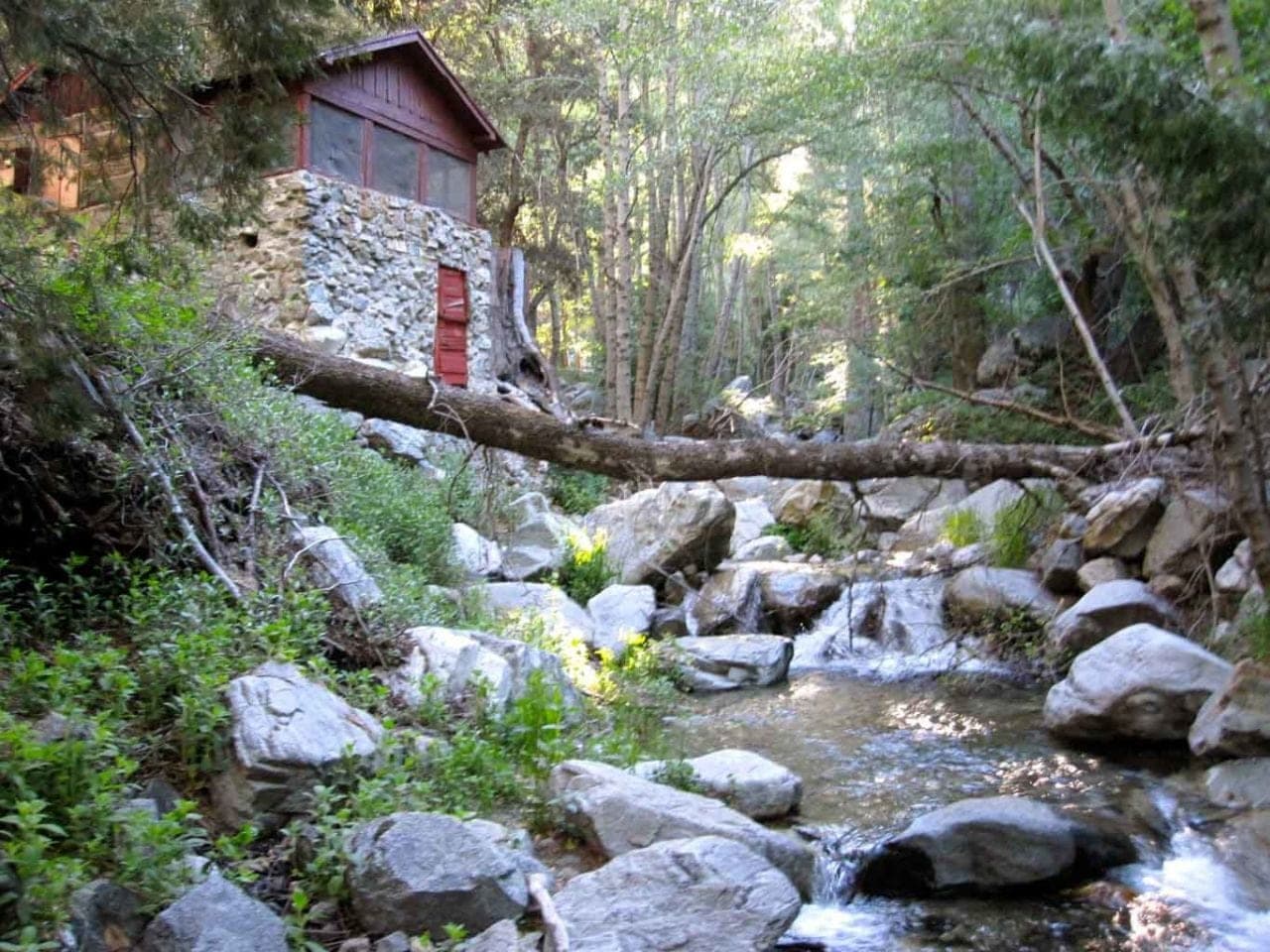
© Foothill & Vine Icehouse Canyon Trail
What locals graduate to once Etiwanda Falls stops being interesting: 7.2 miles round trip and about 2,600 feet of climbing to Icehouse Saddle at 7,632 feet, with actual conifers and cooler air. The wilderness permit is free and self-serve at the trailhead box; the tiny lot fills at dawn, and dawn is the plan, not a suggestion. Carry more water than city trails have taught you to.
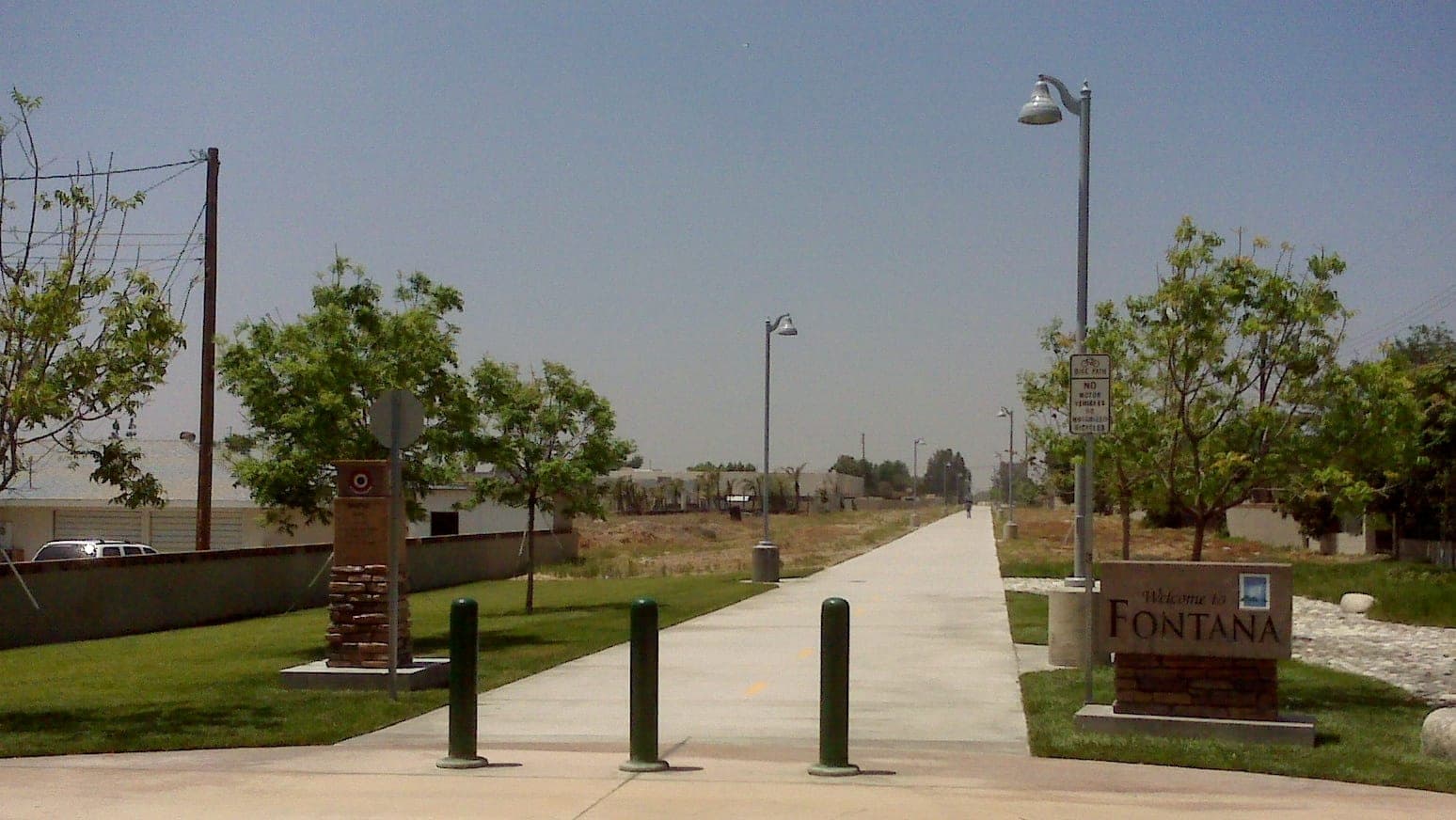
Amerique · Wikimedia Commons · CC BY-SA Pacific Electric Trail
The flat option, offered without apology: twenty paved rail-trail miles across the valley, six of them through the city, with a crushed-stone shoulder for runners and mountain views riding along on clear days. When the preserve closes for wind or your knees file a complaint, this is the walk. Claremont Village makes the natural turnaround.
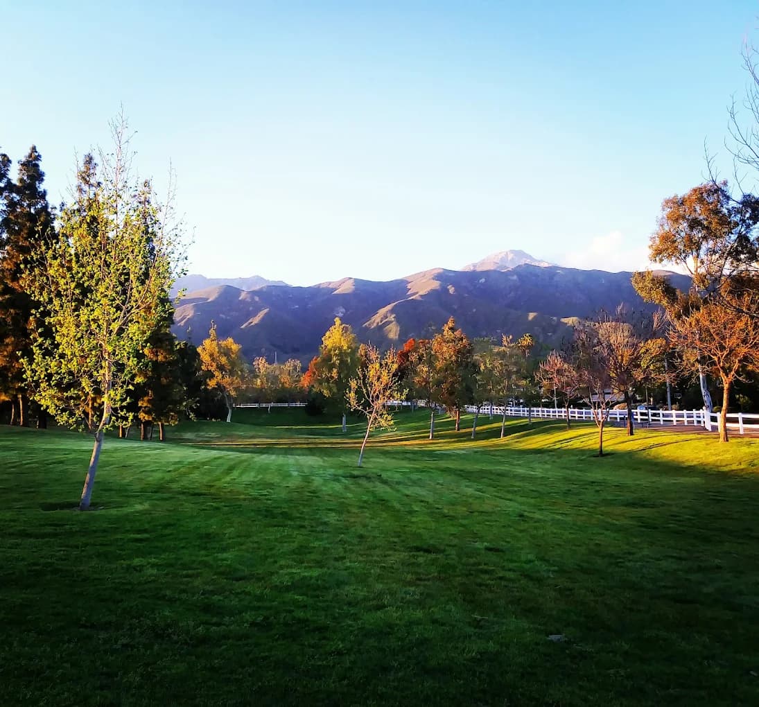
© Foothill & Vine Heritage Community Park
The easy one: a 0.7-mile park trail that connects to the Cucamonga Creek Trail for exactly as much more as you want, with a working equestrian center as the halfway entertainment. Free, daylight hours, kids and dogs welcome. This is the hike for the day you want to be outside without staging an expedition.